
Everest Base Camp trek: how long it is, how high it goes, and how to walk it from home
Sixty-five kilometres from a mountain airstrip to the foot of the highest mountain on Earth. The distance is the easy part.
At a glance
- Distance
- 65 km · 40 miles
- In steps
- about 93,000
- Trekking days
- 8 to 9 days up, 12 to 14 days round trip
- Route
- Lukla to Everest Base Camp
- Highest point
- 5,364 m · 17,598 ft
- Best season
- March to May, and late September to November
How long is the Everest Base Camp trek?
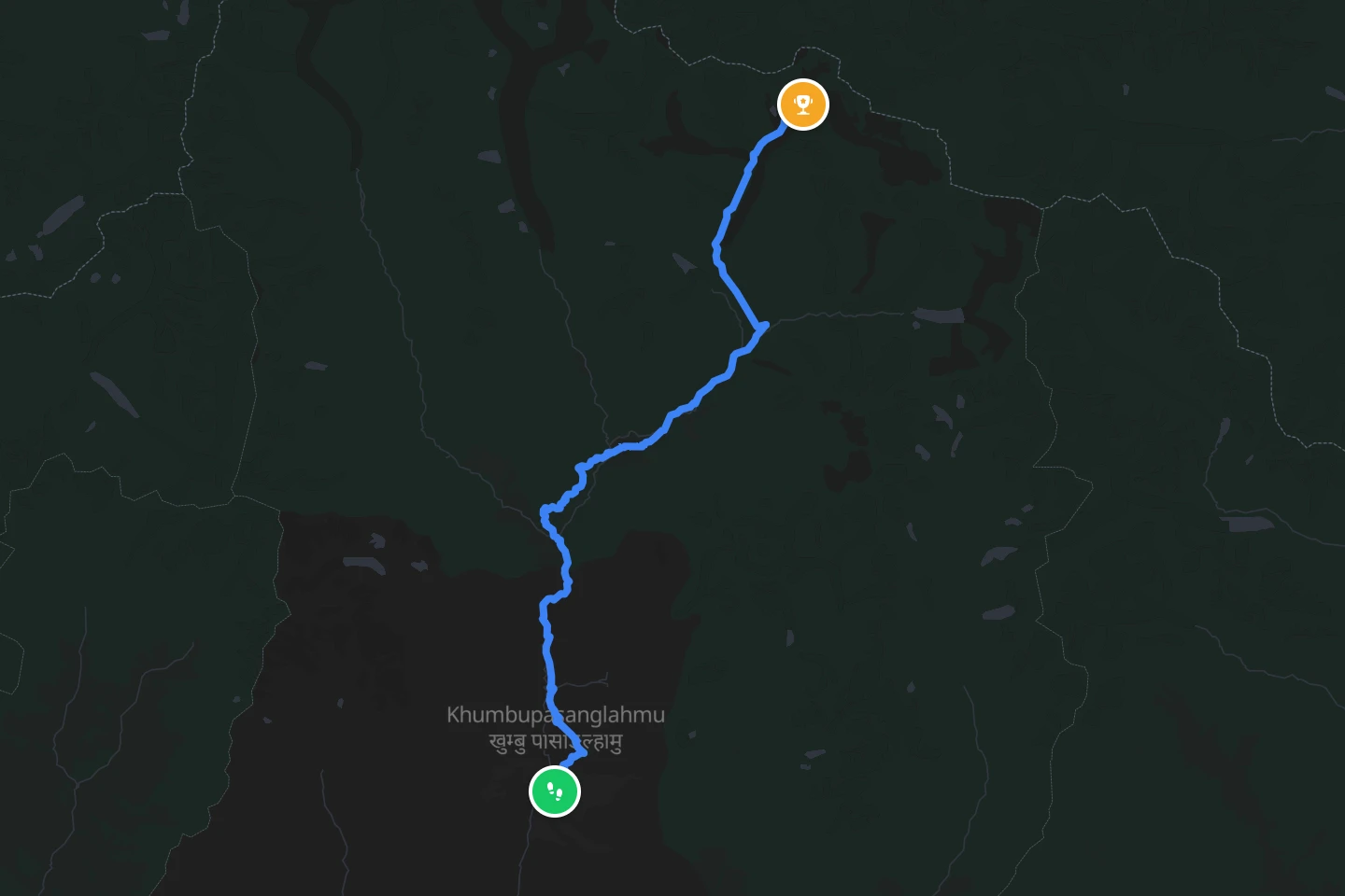
From Lukla to Everest Base Camp is about 65 km (40 miles) one way, and about 130 km (80 miles) there and back. Most people walk up in eight or nine days, and that is not because it is far. A fit walker covers 65 km (40 miles) in a week of ordinary days. On this trail the days are short on purpose: the route climbs from about 2,860 m (9,380 ft) at Lukla to 5,364 m (17,598 ft) at Base Camp, and the body needs time at each step up to get used to the thinner air. Two of those days are rest days built in for acclimatisation, usually at Namche Bazaar and at Dingboche, and the acclimatisation walks on those days are part of what makes the trek longer than the trail.
The trail itself, without the side trips and the way back down, is what reTrek measures: 58 km (36 miles) up the valley to Base Camp. The story is in the climb. The walk down is the same trail in reverse, and the round trip with flight days at either end takes 12 to 14 days.
How high is Everest Base Camp?
Everest Base Camp on the Nepal side sits at 5,364 m (17,598 ft). That is higher than any point in the Alps and higher than most people have ever been. Everest itself rises another 3,500 m (11,500 ft) above it. Most trekkers also climb Kala Patthar, a viewpoint at about 5,545 m (18,190 ft), because Base Camp itself sits below the mountain’s shoulder and does not give a clear view of the summit.
How hard is it?
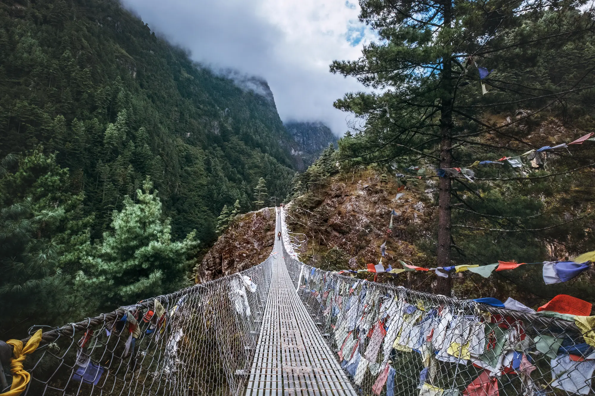
The walking is not technical. It is a path, with stone steps, suspension bridges and long gentle climbs, and no ropes or climbing skill involved. What makes it hard is the altitude. Above about 2,500 m (8,200 ft) some people start to feel altitude sickness, and above 3,500 m (11,500 ft) most people feel the thin air on every uphill. The guideline doctors use is that above 3,000 m (9,800 ft) you should not raise the altitude you sleep at by more than about 500 m (1,600 ft) a day, and you should take a rest day every three or four days. That is why the itinerary looks slow on paper.
The other hard part is the weather and the cold. Nights above Dingboche drop well below freezing even in the good seasons, and lodges are unheated apart from a stove in the dining room.
The one hard thing about this trail is the altitude. Walking it at home keeps the distance and the places and leaves the thin air out. Walk Everest Base Camp in reTrek, the free route.
When is the best time to go?
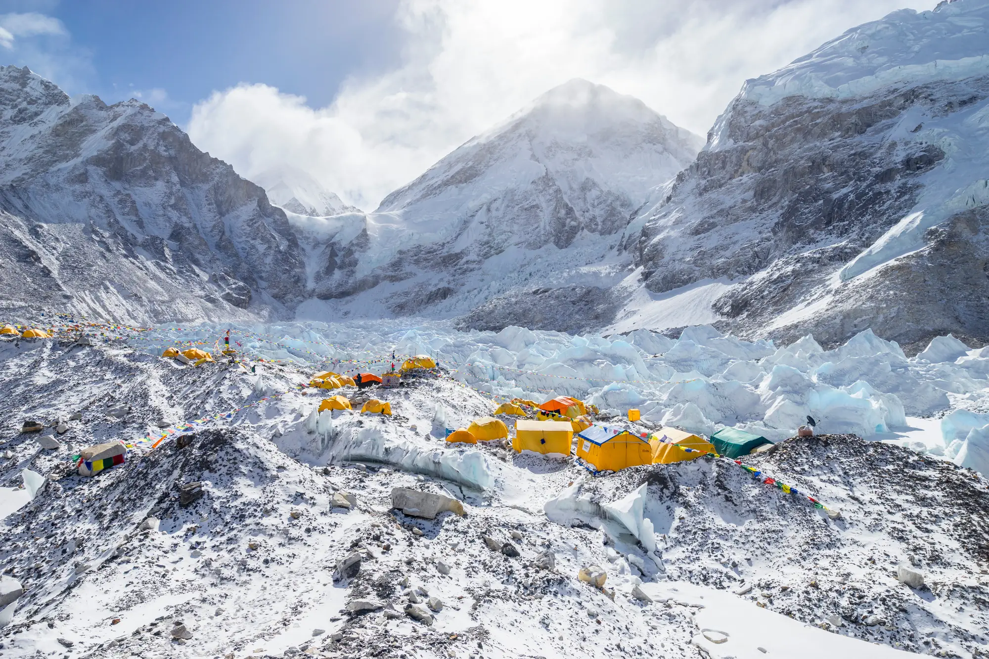
Two windows. Pre-monsoon, March to May, has warmer days and rhododendron in bloom lower down, and it is also when the summit expeditions are in Base Camp, so the camp is a real tent city. Post-monsoon, late September to November, has the clearest skies and the best mountain views, with colder nights. The monsoon months, June to early September, bring cloud and rain, and December to February is possible but very cold with some lodges closed.
How do you get there?
Almost everyone flies to Lukla, a short, sloped runway at 2,860 m (9,380 ft). Outside the busy seasons that is a 35 minute flight from Kathmandu. In the two peak windows, mid March to mid May and late September to the end of November, the Lukla flights leave from Manthali airport in Ramechhap instead, a four to five hour drive from Kathmandu, and the flight from there takes about 20 minutes. The trek starts at the end of the runway. The alternative is to walk in from Jiri or Salleri, which adds about a week and is how the first expeditions did it.
You need two permits, a Sagarmatha National Park entry permit and a Khumbu Pasang Lhamu rural municipality permit. Both can be bought at the checkpoints on the trail, and the old TIMS card is no longer needed in this region.
On the trail
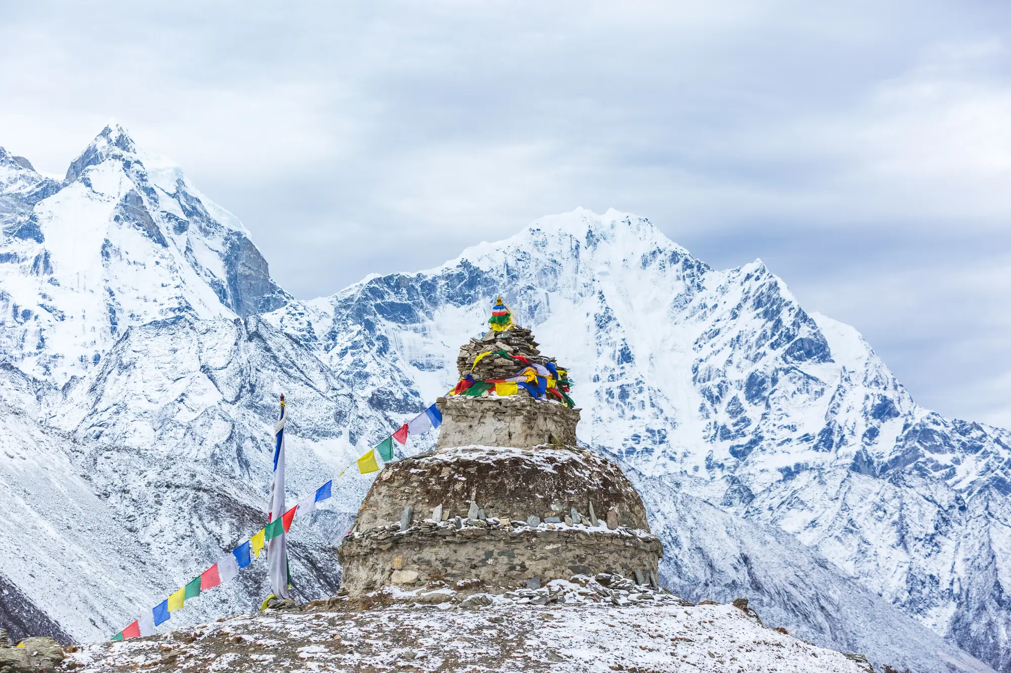
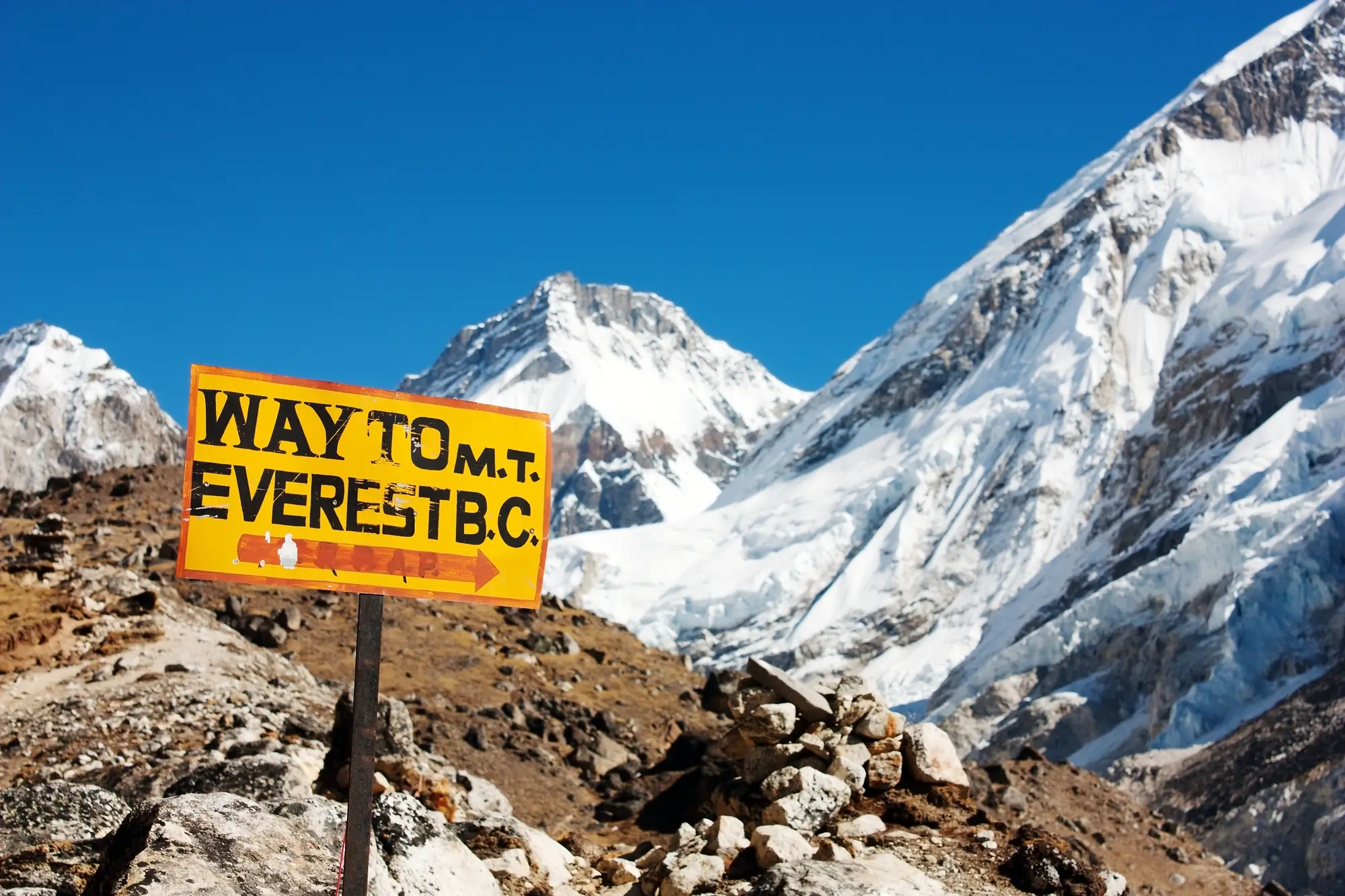
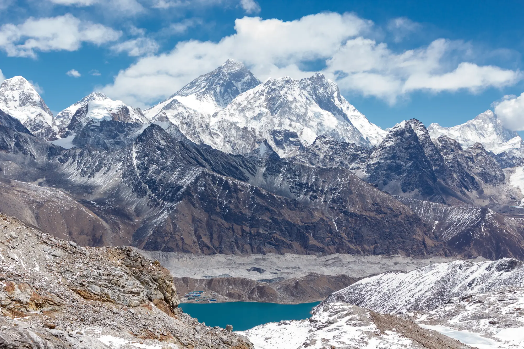
Some of what the trail passes.
Not this year? Walk it anyway, on your terms
Most people who read this far will never fly to Lukla. Two weeks in Nepal, the altitude, the cost of getting there. reTrek lets you walk the same 58 km anyway.
Your everyday walks move you up the valley, and at points along the way a short film shows you where you have got to. For most people it takes a couple of weeks.
Walk it alone, pool your steps with friends, or race them to Base Camp.
Everest Base Camp is free to walk, which is why most people start here. The other routes need a subscription. A year of reTrek costs about the same as one takeaway coffee a month.
Other routes
Sources: Sagarmatha National Park, UNESCO · Wilderness Medical Society altitude illness guidelines, 2024 · Altitude sickness, NHS · Nepal trekking permits and fees, Follow Alice