
Hadrian's Wall Path: how long it is, how many days it takes, and how to walk it from home
Eighty-four miles coast to coast across the top of England, along the wall the Romans built to mark the edge of their world.
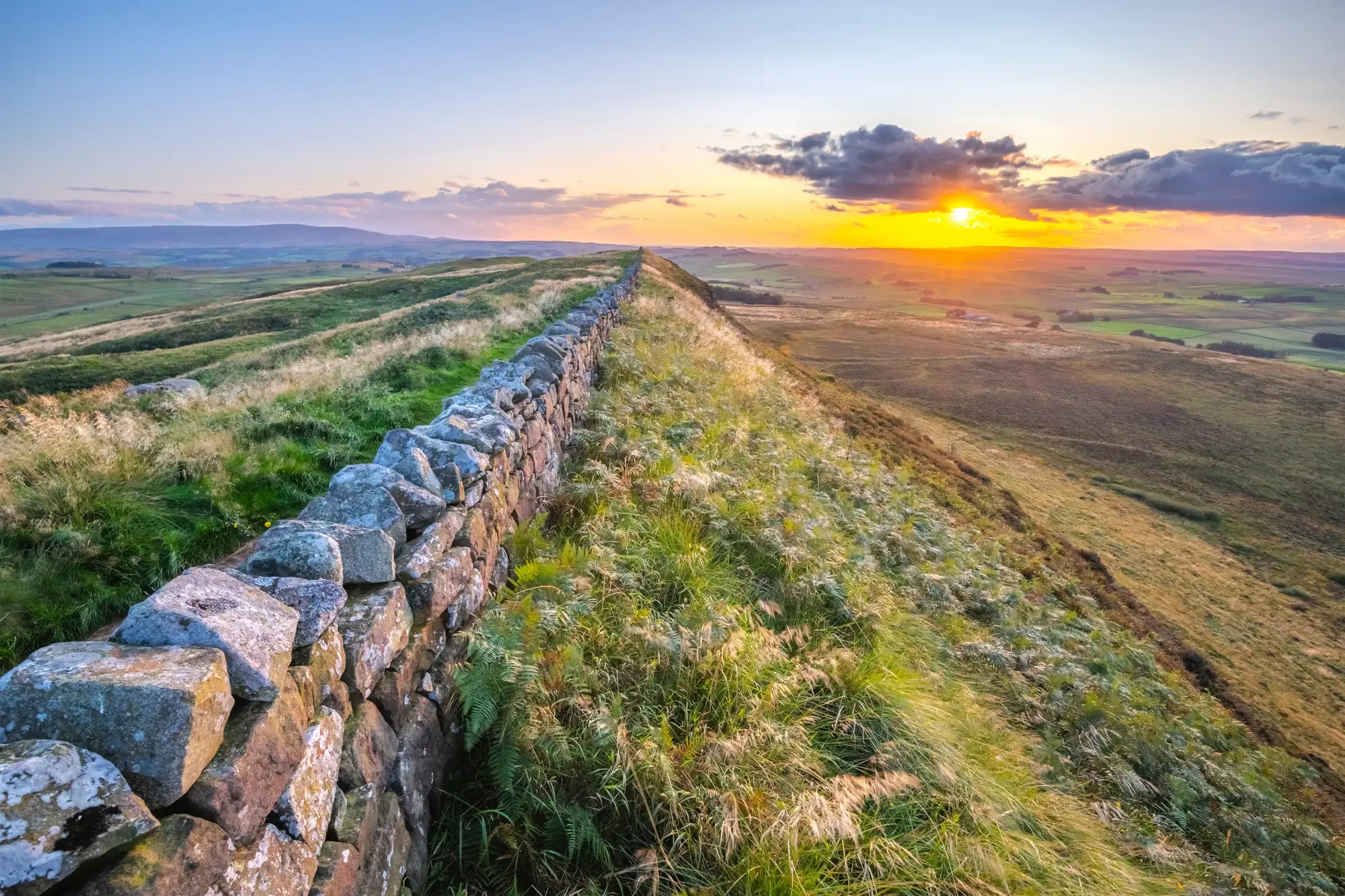
At a glance
- Distance
- 135 km · 84 miles
- In steps
- about 193,000
- Trekking days
- 6 to 10 days, 7 for most
- Route
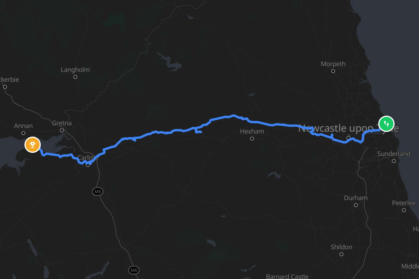
- Wallsend to Bowness-on-Solway
- Highest point
- 345 m · 1,132 ft
- Best season
- May to October
How long is Hadrian’s Wall Path?
The National Trail is 84 miles (135 km) from Segedunum Roman Fort at Wallsend, on the Tyne in Newcastle, to Bowness-on-Solway on the Cumbrian coast. Most people walk it west in six to ten days. Seven is the common plan, at about 12 miles (19 km) a day, and the trail’s own advice is to allow more if you want time in the forts and museums along the way, which is most of the point.
The wall itself was about 73 miles (117 km) long, so the path is longer than the wall: it follows the Tyne through Newcastle at one end and the Solway marshes at the other. The line reTrek follows measures 156 km (97 miles), the full walk from the fort on the Tyne to the village on the Solway.
How high does it go?
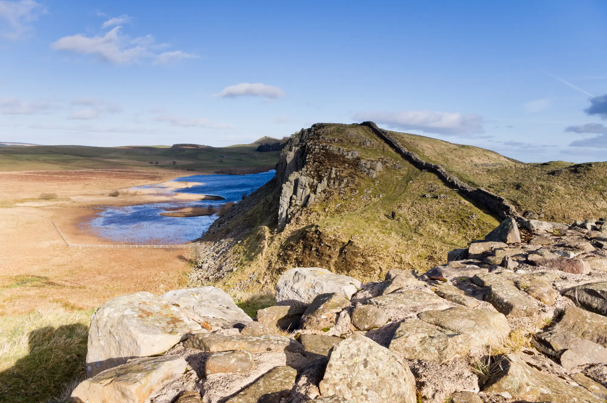
Not very. The highest point is Winshield Crags at 345 m (1,132 ft), in the central section where the wall rides the crest of the Whin Sill, a line of dark crags facing north. That middle stretch, roughly from Chollerford to Birdoswald, is where the wall is best preserved and the walking is up and down all day. The two ends are flat river valley and coast.
How hard is it?
Easy walking on paths and fields, with the central days the only ones that tire the legs. The difficulties are English ones: weather from any direction, mud in the wet months, and long days between places to stay in the middle section. There is no altitude, no permit and no guide needed.
There is one rule that matters. The trail managers ask walkers to keep to the path and to avoid the central section in winter, when the ground is soft and thousands of boots damage the wall’s foundations. That is why the recommended season runs from May to October, not for the weather but for the wall.
No altitude, no permit, no mud. Walked at home, Hadrian’s Wall keeps the distance and the places and leaves the weather out. Walk Hadrian’s Wall in reTrek.
When is the best time to go?
May to October, as the trail asks. May and June have the longest days and the fewest walkers, September the most settled weather. July and August are the busiest and accommodation books up in the central section. Outside those months the path is open, but walking the crags in winter mud is discouraged.
How do you get there?
Newcastle has an airport and mainline trains, and the Metro runs to Wallsend, a short walk from Segedunum. At the far end a bus links Bowness-on-Solway to Carlisle, which has mainline trains back. In summer the AD122 bus runs along the central section, named for the year the wall was begun.
On the trail
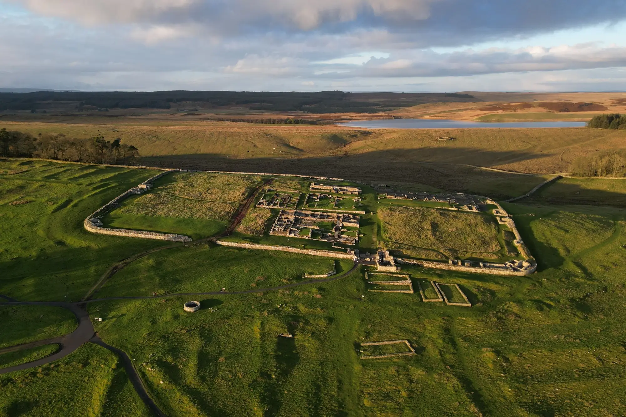
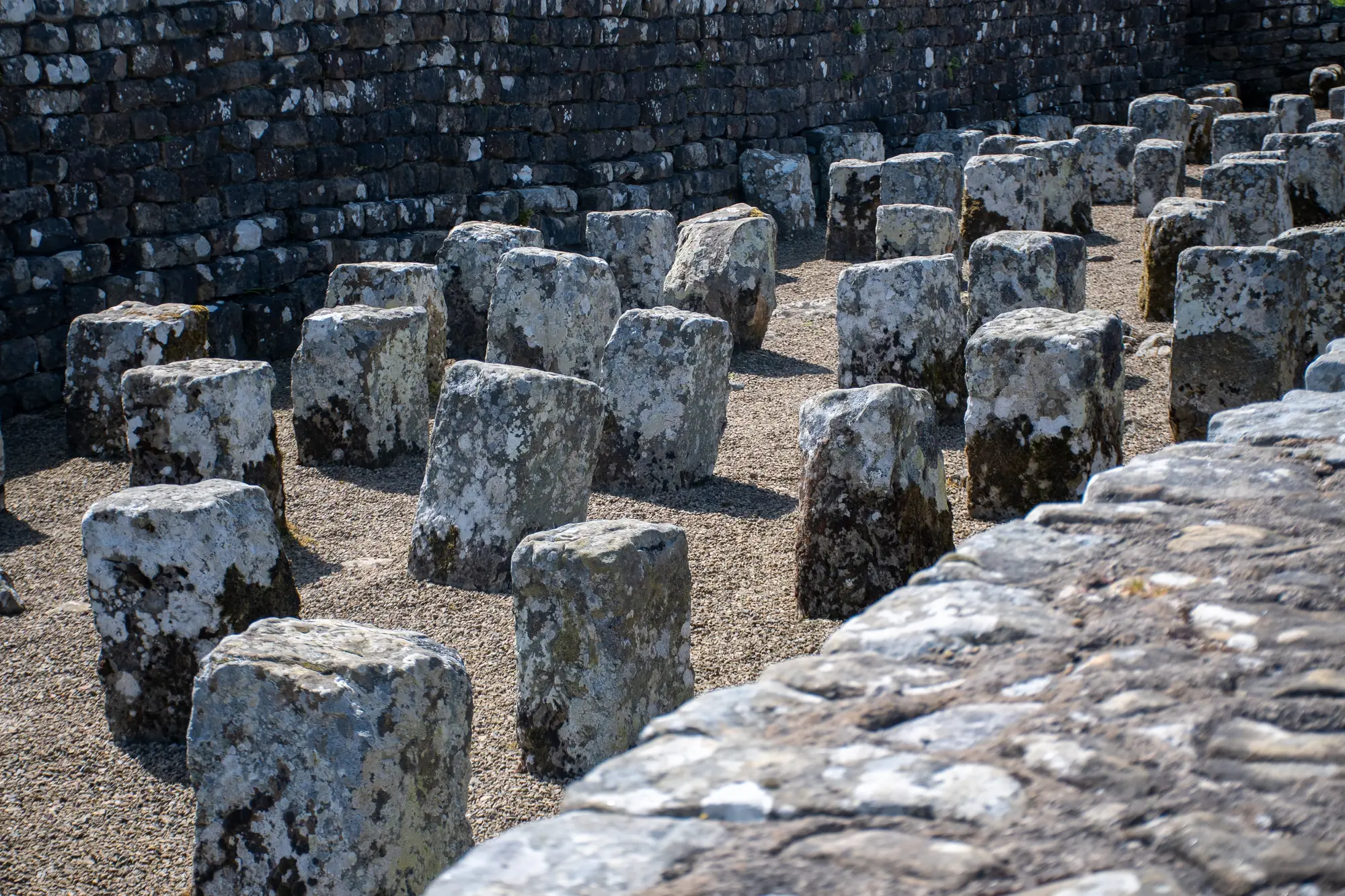
Some of what the trail passes.
Not this year? Walk it anyway, on your terms
Most people who read this far will never find a free week for Northumberland, or the legs for 84 miles of it. reTrek lets you walk the wall anyway, all 156 km of it.
Your everyday walks move you along it, coast to coast, and at points along the way a short film shows you where you have got to. For most people it takes about a month.
Walk it alone, pool your steps with friends, or race them to the Solway.
Hadrian’s Wall Path is a paid route. A year of reTrek costs about the same as one takeaway coffee a month, and Everest Base Camp is free if you want to try it first.
More about this route
Other routes
Sources: Hadrian's Wall Path, National Trails · Frontiers of the Roman Empire, UNESCO