
Lycian Way, Fethiye to Demre: how long it is, how many days it takes, and how to walk it from home
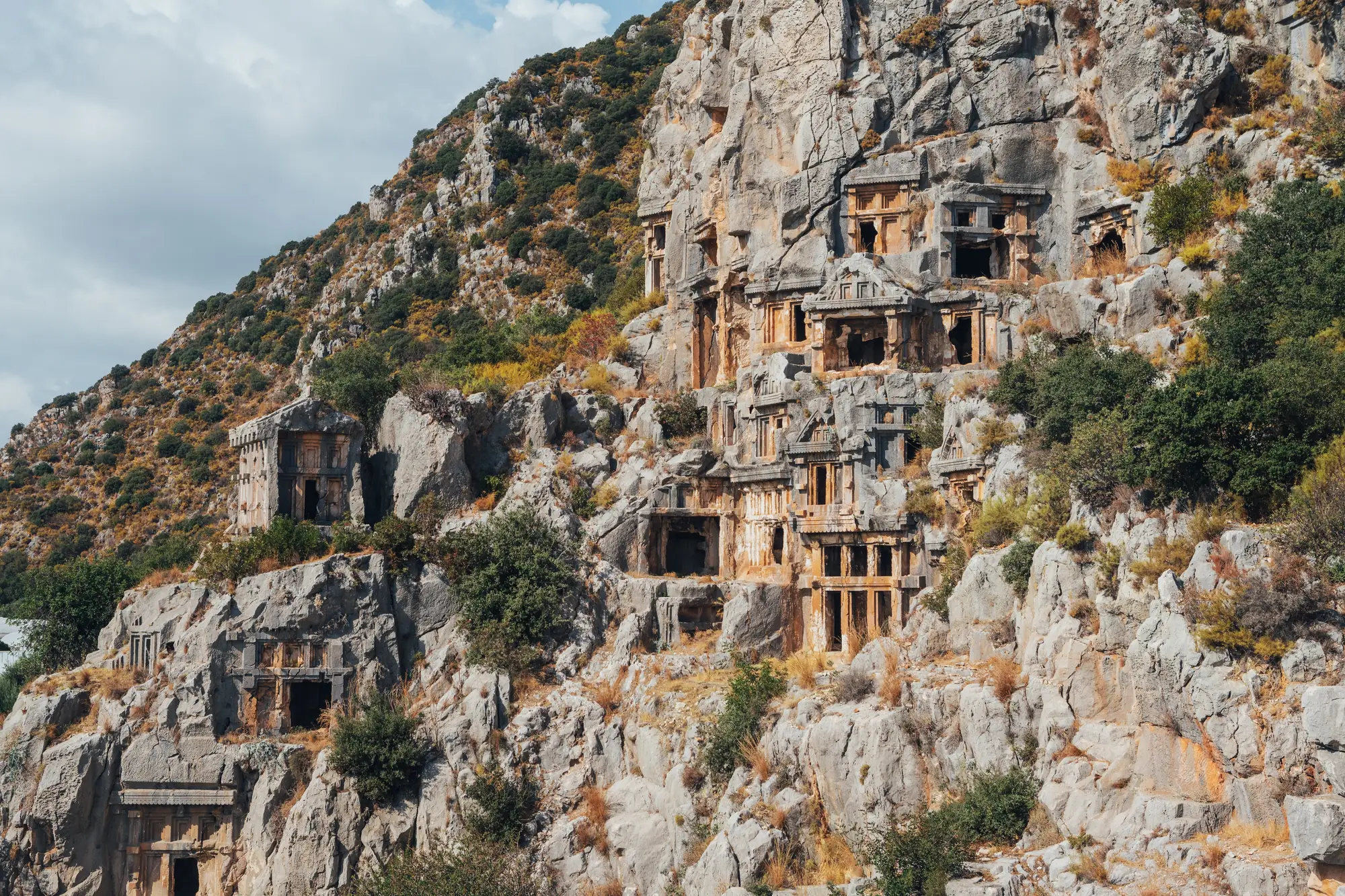
Two hundred kilometres of cliff path, pine forest and Lycian tombs along Turkey's Mediterranean coast, from Fethiye to the church of St Nicholas at Demre. A coast path that keeps leaving the coast.
At a glance
- Distance
- 211 km · 131 miles
- In steps
- about 301,000
- Trekking days
- 13 to 15 days
- Route
- Fethiye to Demre
- Highest point
- 920 m · 3,018 ft
- Best season
- April to May, and October to November
How long is the Lycian Way?
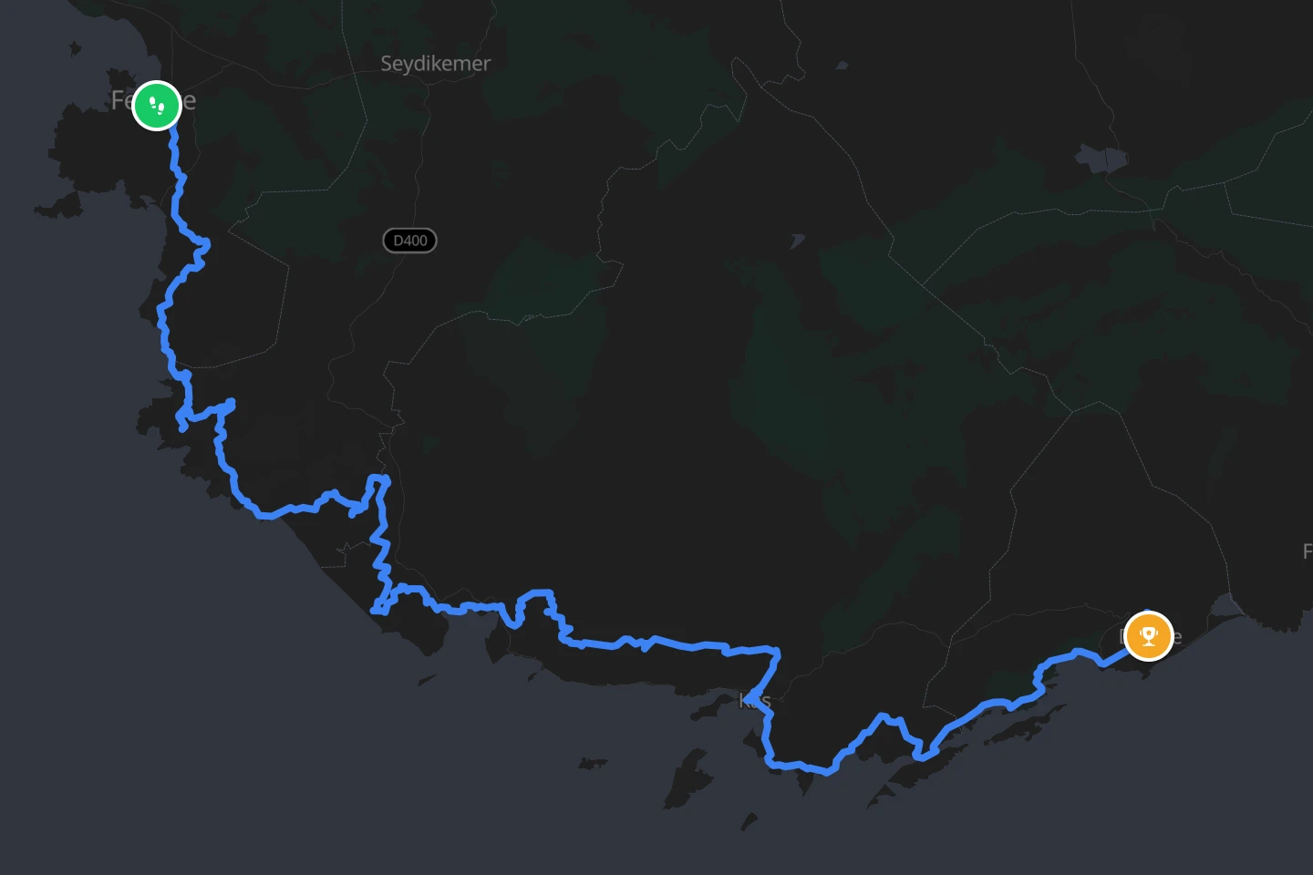
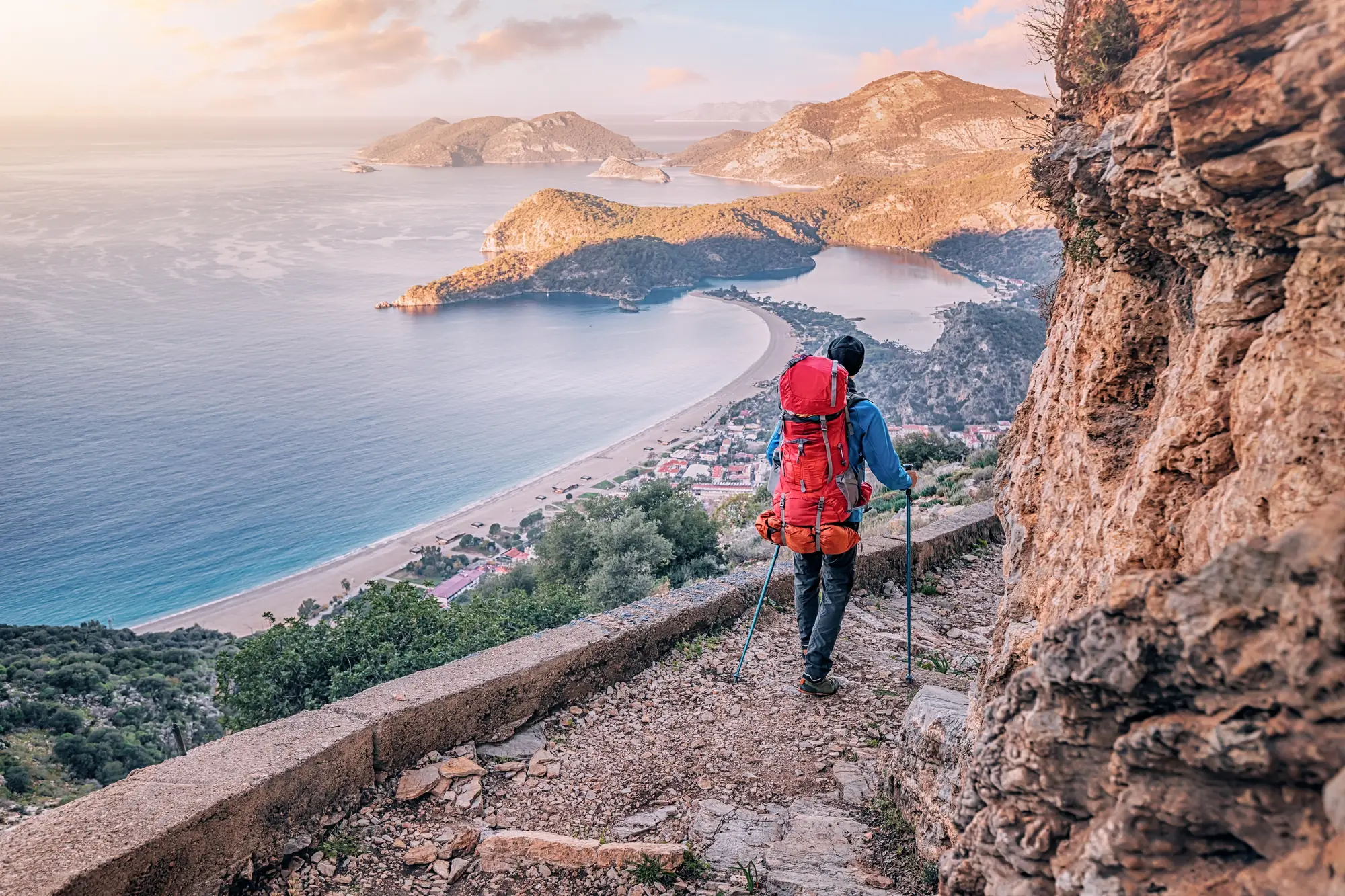
The full Lycian Way is a waymarked trail of about 520 km (325 miles) along the coast of ancient Lycia, from Fethiye to the edge of Antalya, and walking all of it takes four to six weeks. Almost nobody does. Most people walk a section, and the western half from Fethiye to Demre is the classic one: about 211 km (131 miles) past Ölüdeniz, the Butterfly Valley cliffs, Patara’s beach, Kalkan, Kaş and the sunken city at Kekova, walked in 13 to 15 days.
That western half is what reTrek measures: 211 km (131 miles) from the Tomb of Amyntas above Fethiye to the Church of St Nicholas in Demre.
How high does it go?
The trail is a coast path that keeps leaving the coast. It climbs into the hills behind every bay and drops back to the sea, so a day can start at the water and reach 800 m (2,600 ft) by lunch. On the Fethiye to Demre half the highest point is the ridge above Sarıbelen, between Kalkan and Kaş, at about 920 m (3,018 ft), with the passes above Alınca and Bel not far behind at around 840 m (2,750 ft). The trail’s real mountains, up to 1,800 m (5,900 ft) under Tahtalı, are on the eastern half beyond Demre.
How hard is it?
Harder than its distance suggests. The path is rocky, the climbs are steep and repeated, and in the wrong season the heat is the main danger: this is the Mediterranean, and by June the afternoons are too hot to walk. Water can be scarce between villages. The trail is marked with the red-and-white stripes of the international GR standard, but the marks fade and the guidebook or a GPS track is still needed. The reward is that almost every day ends in a village pension by the sea.
The heat and the rock are the hard part. Walked at home, the Lycian Way keeps the distance and the places and leaves the Mediterranean sun out. Walk the Lycian Way in reTrek.
When is the best time to go?
Spring, April and May, when the hills are green and in flower and the pensions are open. Or autumn, October and November, when the heat has gone and the sea is still warm. Summer is for swimming, not walking, and in winter parts of the route are wet and many pensions close.
How do you get there?
Fly to Dalaman, an hour from Fethiye, and the trail begins above Ölüdeniz. From Demre at the far end, buses run along the coast road to Antalya and its airport. No permit is needed, and the trail is free and open all year.
On the trail
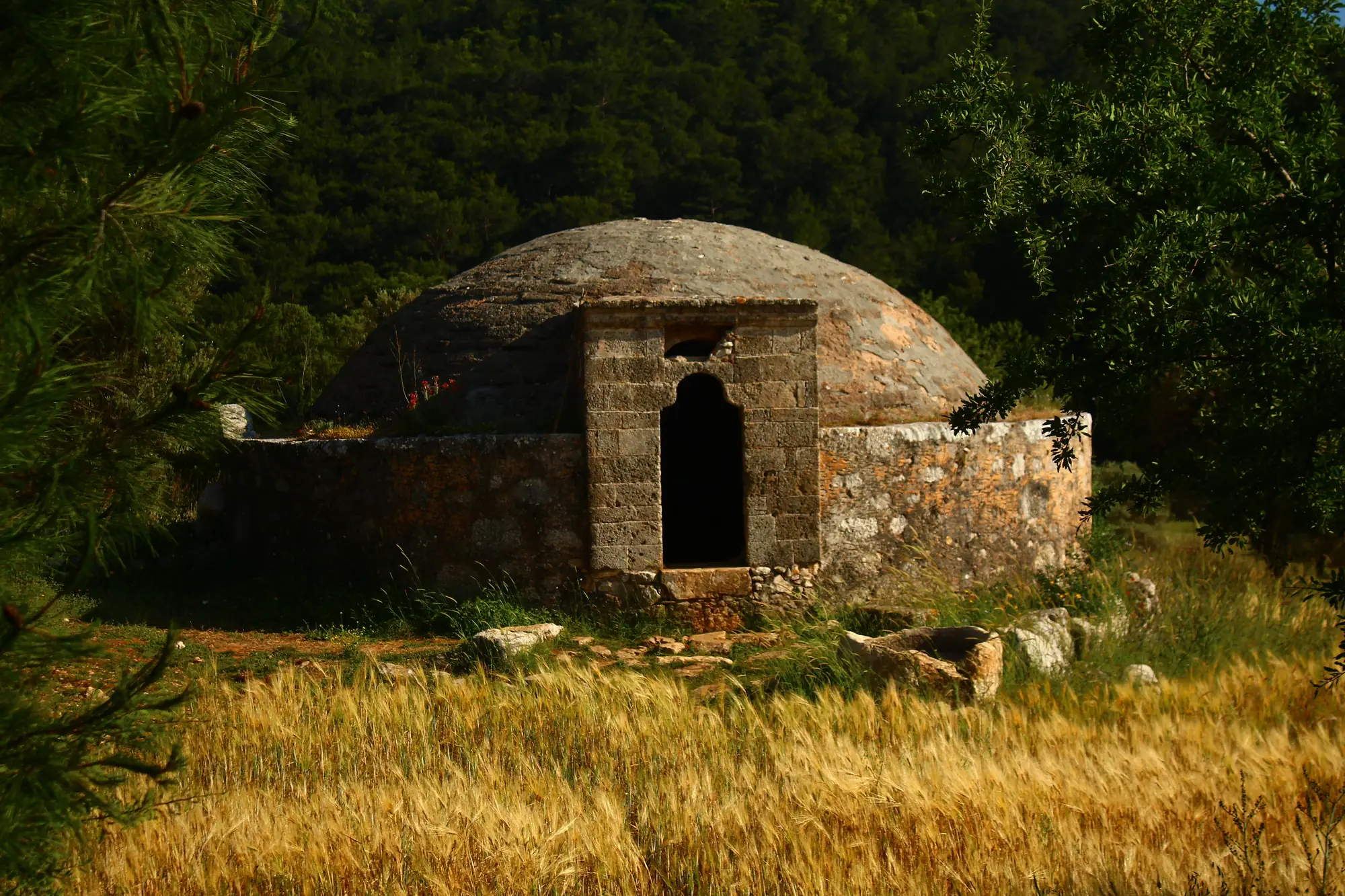
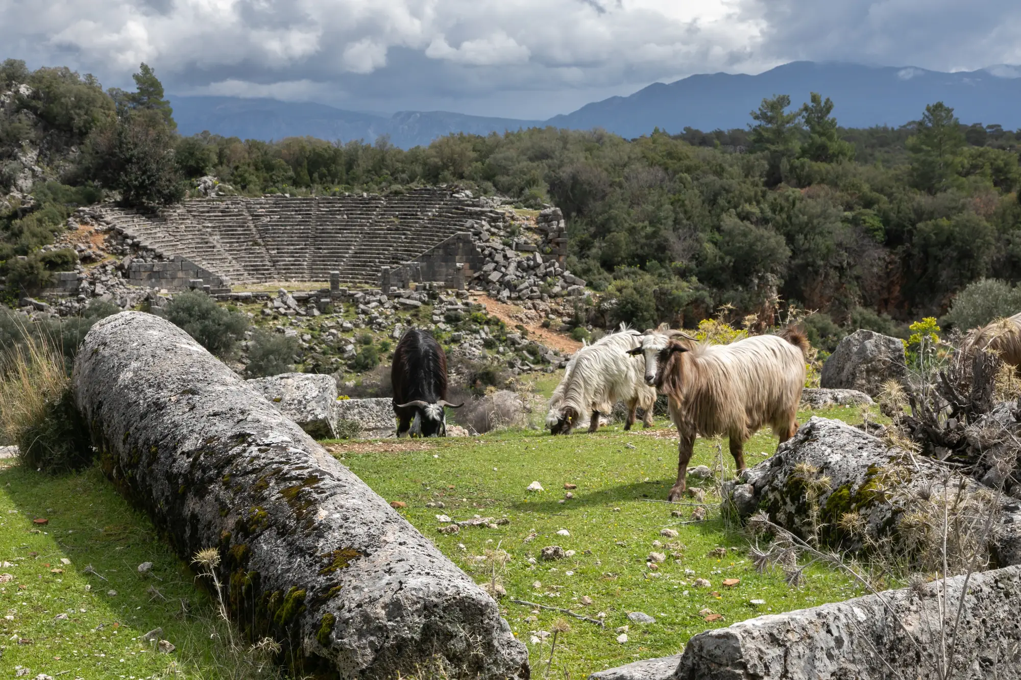
Some of what the trail passes.
Not this year? Walk it anyway, on your terms
Most people who read this far will never spend three weeks on the Turkish coast. reTrek lets you walk the same 211 km anyway.
Your everyday walks move you along the cliffs, and at points along the way a short film shows you where you have got to. For most people it takes five or six weeks.
Walk it alone, pool your steps with friends, or race them to Demre.
The Lycian Way is a paid route. A year of reTrek costs about the same as one takeaway coffee a month, and Everest Base Camp is free if you want to try it first.
Other routes
Sources: Lycian Way, Wikipedia · The Lycian Way, Culture Routes Society · Lycian Way, Kalkan to Gökçeören, AllTrails