
Camino de Santiago: how long the Camino Francés is, how many days it takes, and how to walk it from home
Seven hundred and eighty kilometres across the top of Spain, on a road people have walked for a thousand years. Nobody finishes it in a week, which is the point.
At a glance
- Distance
- 784 km · 487 miles
- In steps
- about 1,120,000
- Trekking days
- 30 to 35 days
- Route
- Saint-Jean-Pied-de-Port to Santiago de Compostela
- Highest point
- 1,505 m · 4,938 ft
- Best season
- May, June and September
How long is the Camino de Santiago?
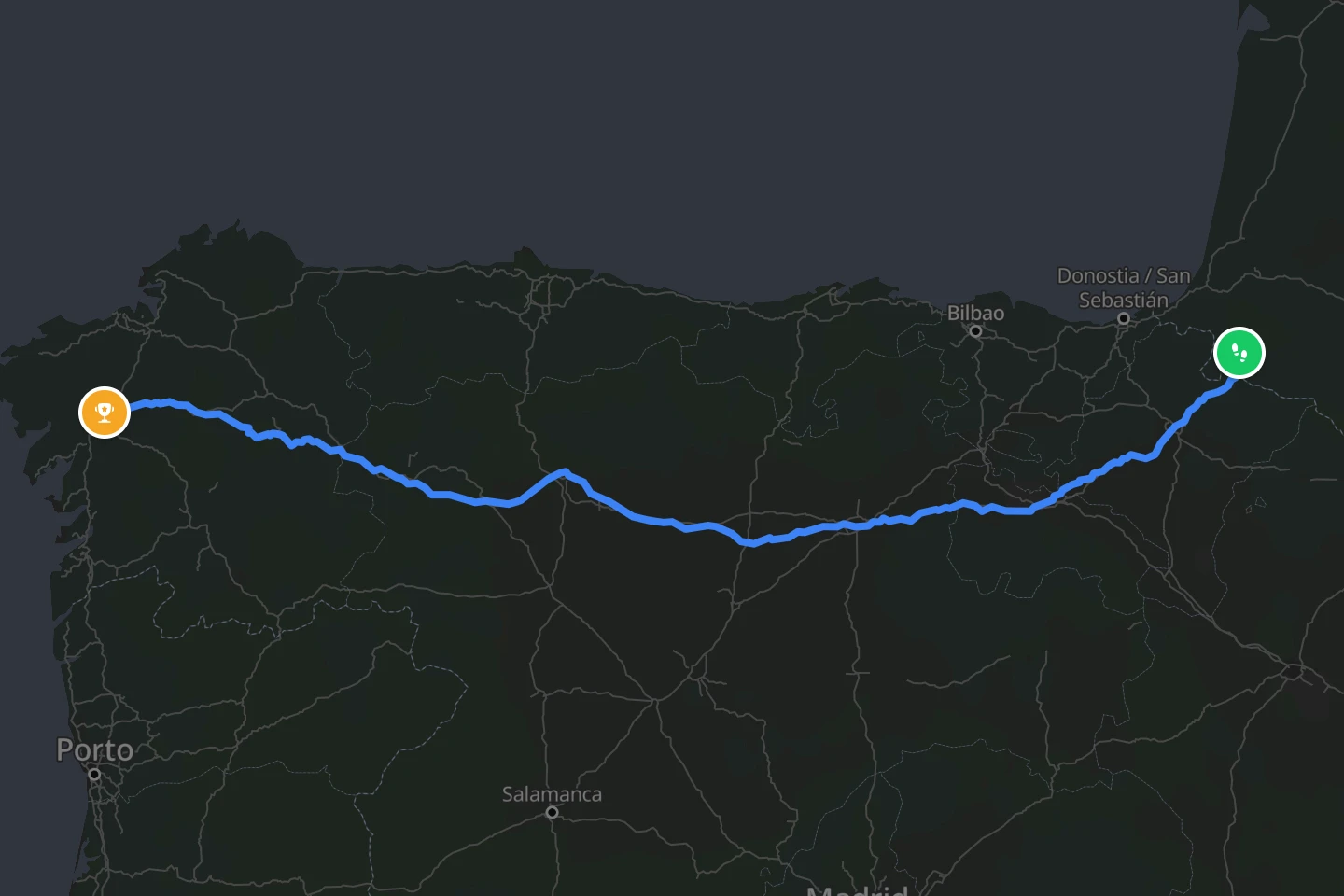
There are many Caminos, but when people say “the Camino” they usually mean the Camino Francés, the French Way, from Saint-Jean-Pied-de-Port at the foot of the Pyrenees to Santiago de Compostela in Galicia. It is about 780 km (485 miles). Most pilgrims walk it in 30 to 35 days, covering 20 to 28 km (12 to 17 miles) a day with a rest day or two in the big cities. Fast walkers finish in under four weeks. People who take it gently, or who stop to see Pamplona, Burgos and León properly, take five or six.
To earn the Compostela, the certificate the cathedral has issued to pilgrims for centuries, you need to walk at least the last 100 km (62 miles) into Santiago. That is why Sarria, 115 km (71 miles) out, is the busiest starting point of all, and why the last week feels like a different, fuller road than the first.
The line reTrek follows is the whole French Way, 784 km (487 miles) from the bridge in Saint-Jean to the cathedral square.
How high does it go?
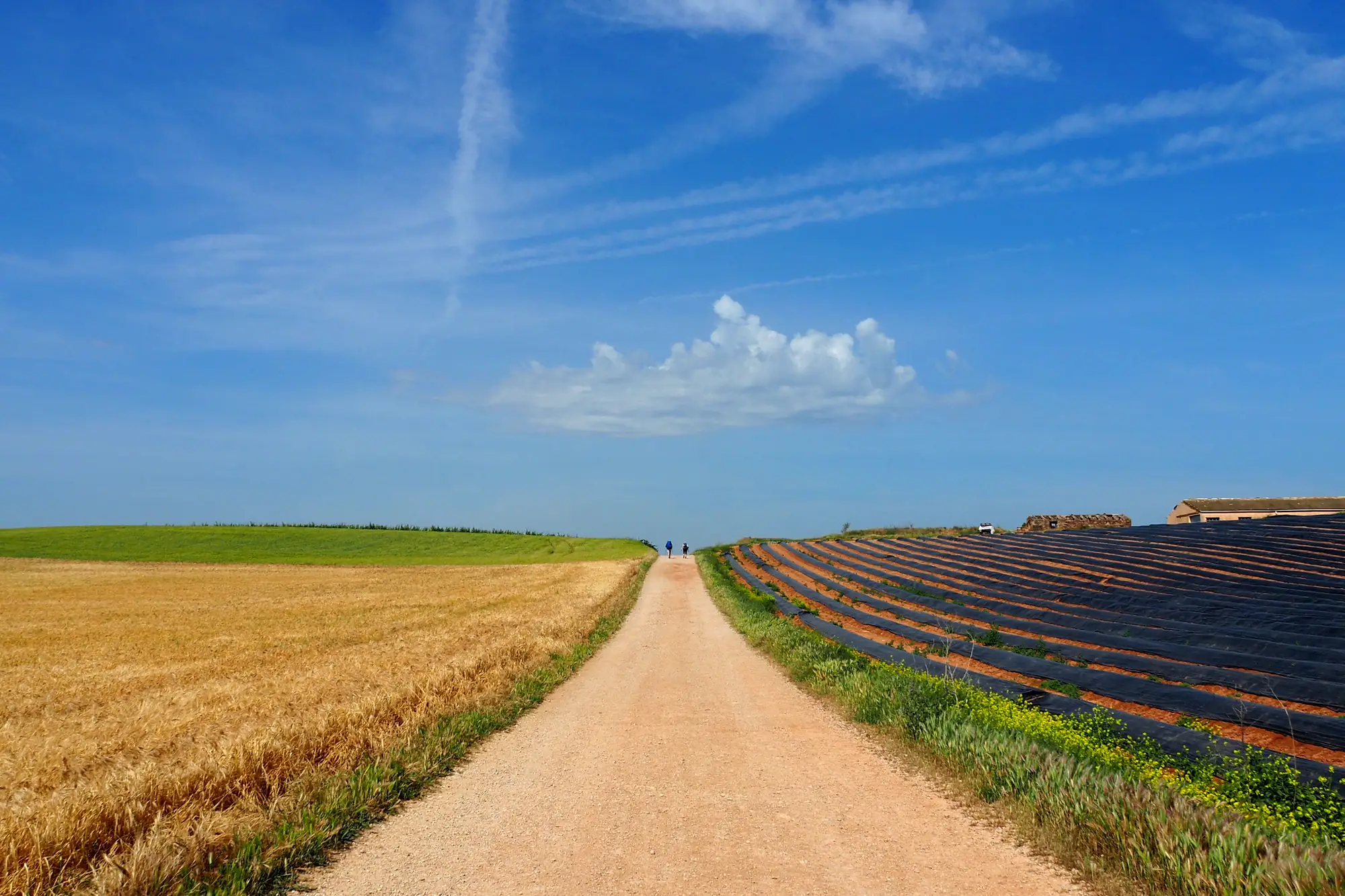
Higher than most people expect for a walk across Spain. Day one crosses the Pyrenees from Saint-Jean to Roncesvalles, climbing to about 1,430 m (4,690 ft) at the Col de Lepoeder before dropping into Navarre, and it is the hardest single day on the road. The highest point of all comes weeks later, in the mountains of León: the Cruz de Ferro at 1,505 m (4,938 ft), an iron cross on a wooden pole above a cairn of stones that pilgrims have carried from home. In between lies the Meseta, the high plain from Burgos to León, 180 km (112 miles) of open, flat, sky-heavy walking that people either love or endure.
How hard is it?
The walking is on tracks, farm roads and old paved paths, never technical. The difficulty is in the length. Thirty days of 25 km (16 miles) wears feet, tendons and resolve in a way no single hard day does, and blisters send more people home than the Pyrenees do. The first week is the steepest, the middle is flat and hot in summer, and the last week through Galicia is green, wet and hilly again.
Accommodation shapes the days. Pilgrims sleep in albergues, hostels run for walkers, which open and close with the seasons and fill early in summer. Carrying a light pack, walking early, and stopping before the heat is how most people make the distance.
The Camino is not a challenge you finish in a week and forget. Walked at home, one everyday walk at a time, it lasts a season. Walk the Camino in reTrek.
When is the best time to go?
May, June and September. Mild days, long light, everything open, and the summer crowds either not yet arrived or already gone. July and August are hot on the Meseta and crowded everywhere, especially the last 100 km (62 miles). October is fine but wetter in Galicia, and by November many albergues close. Winter is possible for the experienced, but the Pyrenees crossing can be closed by snow and the road is quiet to the point of loneliness.
How do you get there?
Saint-Jean-Pied-de-Port is a small town in the French Basque country. Most people fly to Biarritz or Bilbao, or into Pamplona on the Spanish side, and take the train or a shuttle to Saint-Jean. Before setting out you buy a credencial, the pilgrim passport, which is stamped along the way and is what the Pilgrim’s Office checks in Santiago. No permit is needed for the walk itself.
On the trail
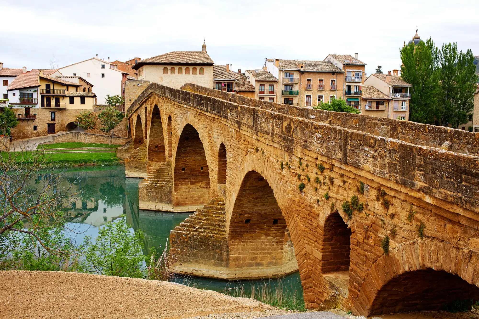
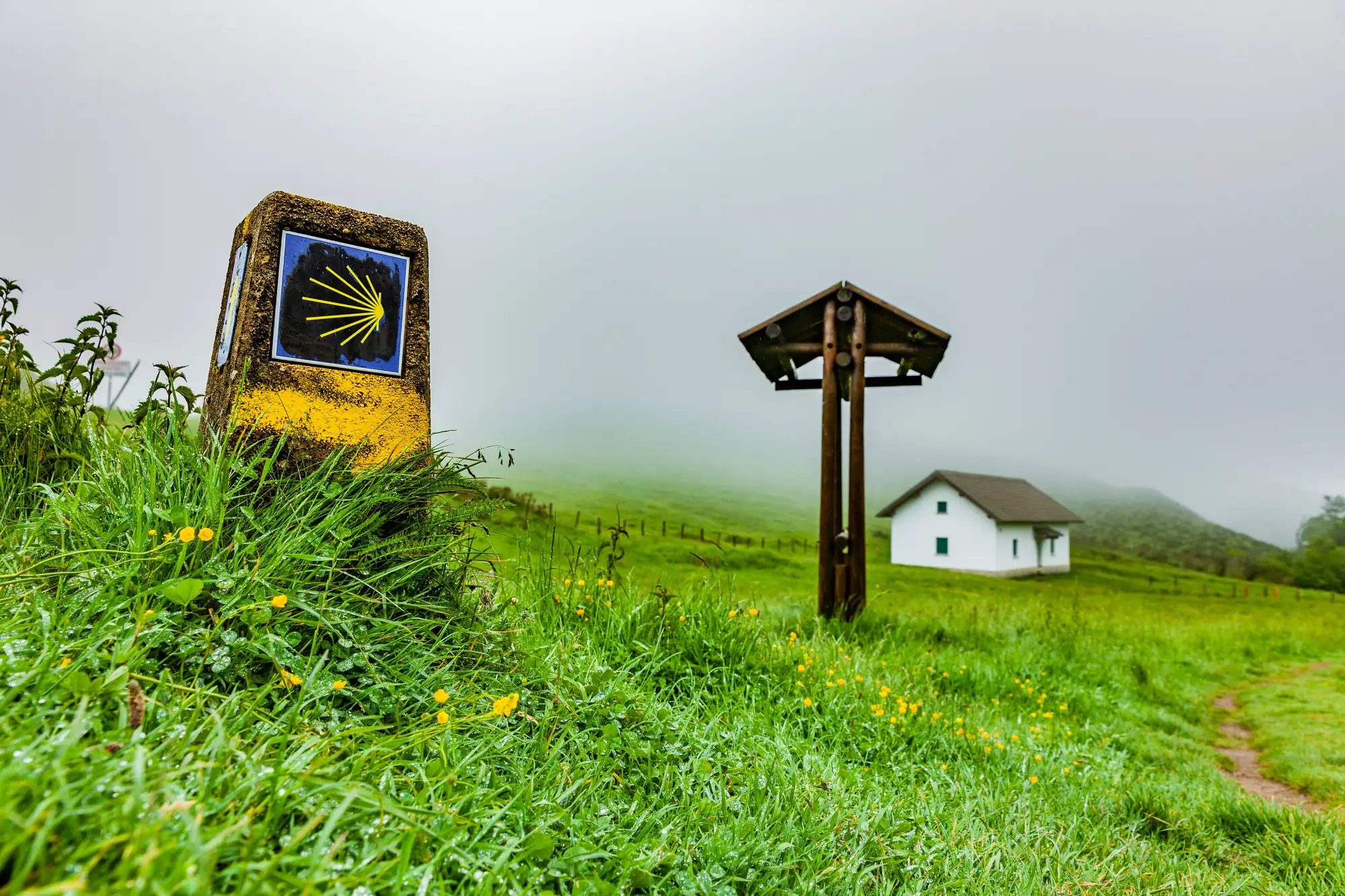
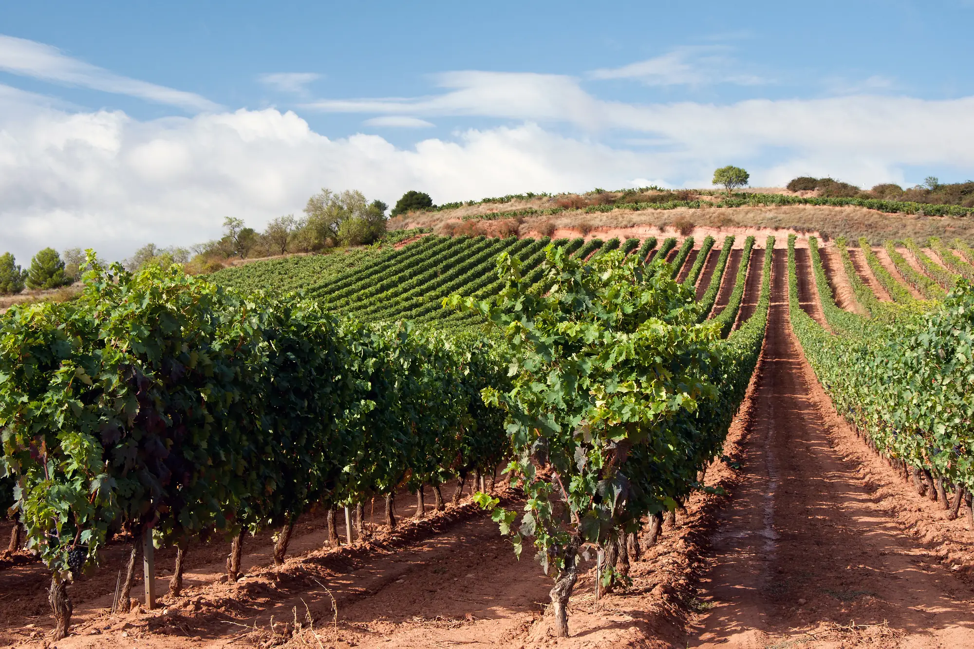
Some of what the trail passes.
Not this year? Walk it anyway, on your terms
Most people who read this far will never take six weeks off to walk across Spain. reTrek lets you walk the same 784 km anyway.
Your everyday walks move you along the French Way, and at points along the way a short film shows you where you have got to. For most people it takes a few months.
Walk it alone, pool your steps with friends, or race them to Santiago.
The Camino is a paid route. A year of reTrek costs about the same as one takeaway coffee a month, and Everest Base Camp is free if you want to try it first.
More about this route
Other routes
Sources: Routes of Santiago de Compostela, UNESCO · The Compostela, Pilgrim's Reception Office · Best time to walk the Camino, Caminoways