
Torres del Paine W Trek: how long it is, how many days it takes, and how to walk it from home
Four or five days through the three valleys of Torres del Paine, from the Grey Glacier to the lake beneath the towers. Not high, but the wind makes up for it.
At a glance
- Distance
- 75 km · 47 miles
- In steps
- about 107,000
- Trekking days
- 4 to 5 days
- Route
- Refugio Paine Grande to Mirador Base de las Torres
- Highest point
- 870 m · 2,854 ft
- Best season
- November to March
How long is the W Trek?
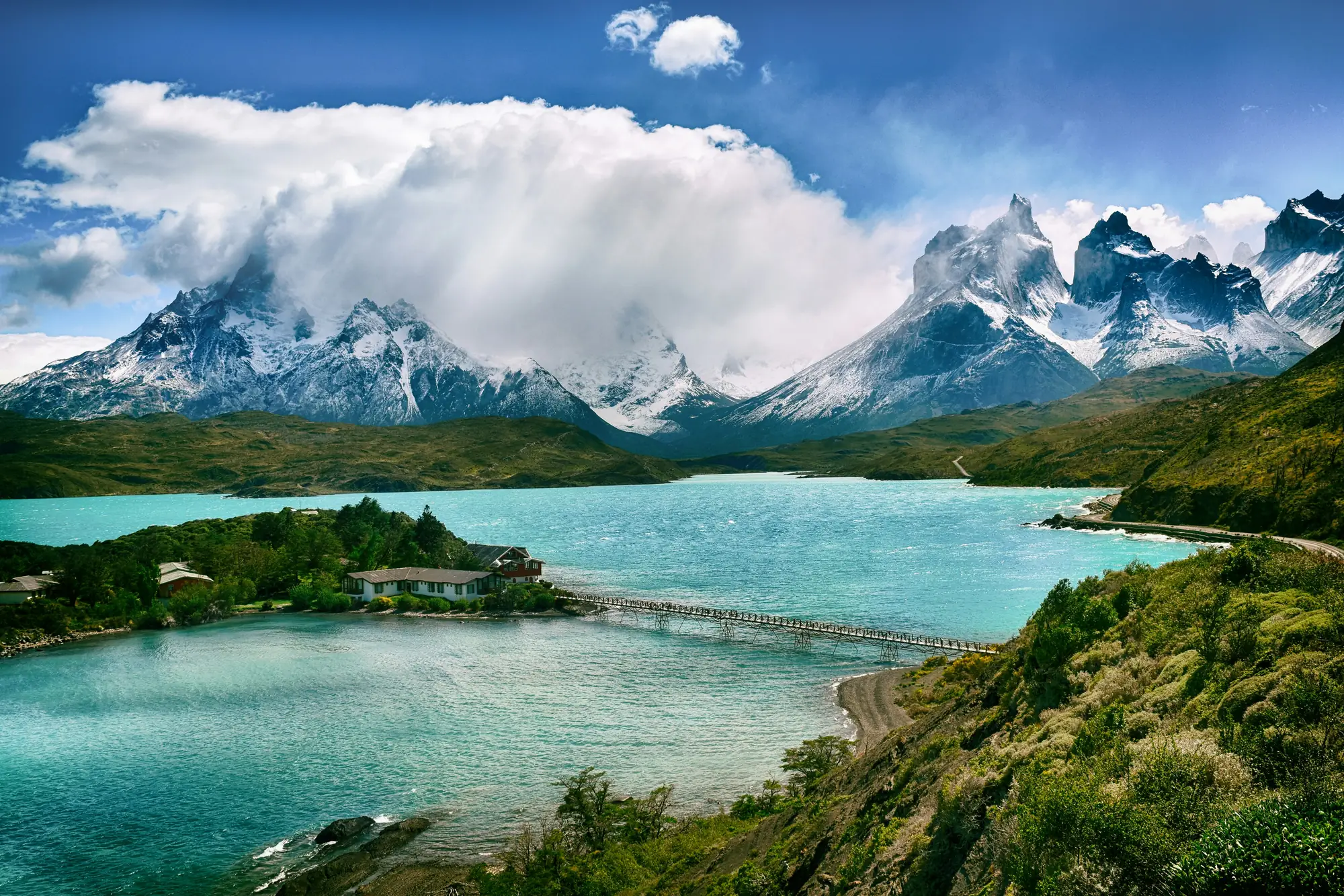
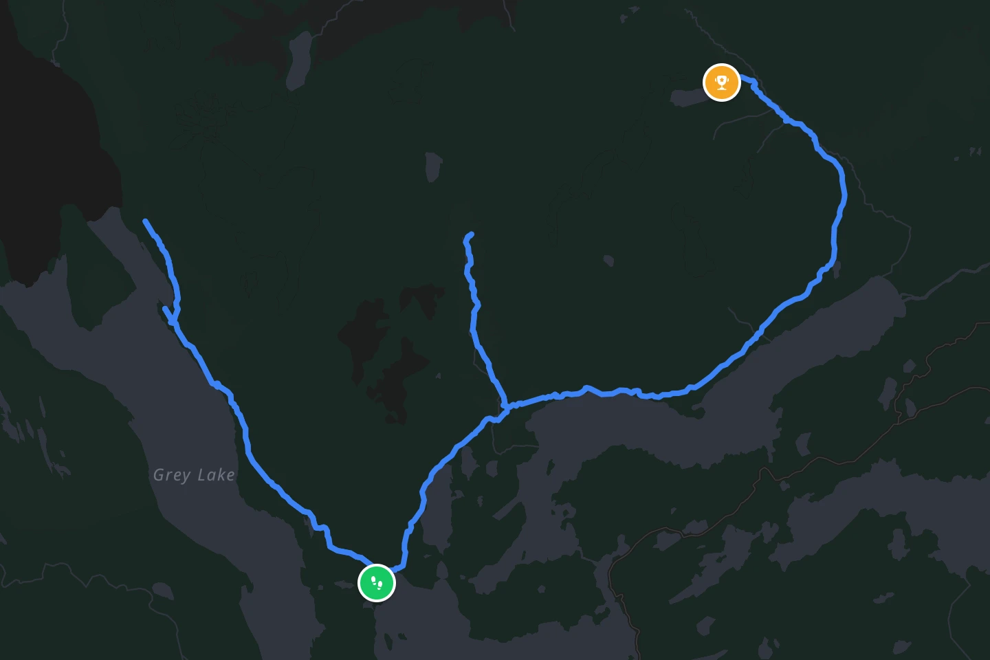
About 75 km (46 miles), walked in four or five days. The route is named for its shape: three valleys walked up and back, joined along the lake shore, which draws a W on the map. From west to east that is the Grey Glacier, the French Valley under the Cuernos, and finally the climb to the lake beneath the three granite towers that give the park its name. Most people walk it west to east so the towers come last.
The line reTrek follows is the standard W with the glacier extension to the mirador beyond the second suspension bridge, which measures 71.5 km (44 miles) from Refugio Paine Grande to the towers.
How high does it go?
Not high, which surprises people who expect Patagonia to mean altitude. The W stays below 1,000 m (3,300 ft). The highest point is the viewpoint at the base of the towers at about 870 m (2,850 ft), reached by a steep final hour over boulders. The park’s high pass, John Gardner at about 1,200 m (3,900 ft), is on the longer O Circuit, not the W. What the W has instead of altitude is wind.
How hard is it?
Moderate walking made hard by weather. The days are 11 to 22 km (7 to 14 miles) with climbs of up to 900 m (3,000 ft) into the valleys, on good paths. But Patagonian wind can knock a walker over, rain arrives from a clear sky, and all four seasons can happen before lunch. The other difficulty is administrative: every night in the park must be booked in advance at a refugio or campsite run by the two concession holders, and the popular sites for the summer sell out months ahead. There is no walking the W without reservations.
The wind is the hard part. Walked at home, the W Trek keeps the three valleys and the towers and leaves Patagonia’s weather out. Walk the W Trek in reTrek.
When is the best time to go?
The southern summer, November to March. December to February has the longest days and the most people. November and March are quieter, colder and windier. The trails open in spring when the park authority says so and close again in autumn, and outside the season the refugios are shut.
How do you get there?
Fly to Punta Arenas, take the bus north to Puerto Natales, the trekking town, and from there a bus into the park. The W starts with a catamaran across Lago Pehoé to Paine Grande and ends near Hotel Las Torres, where the buses back to Natales leave. Park entry is bought online from the park authority, and the nights are booked separately with the refugios.
On the trail
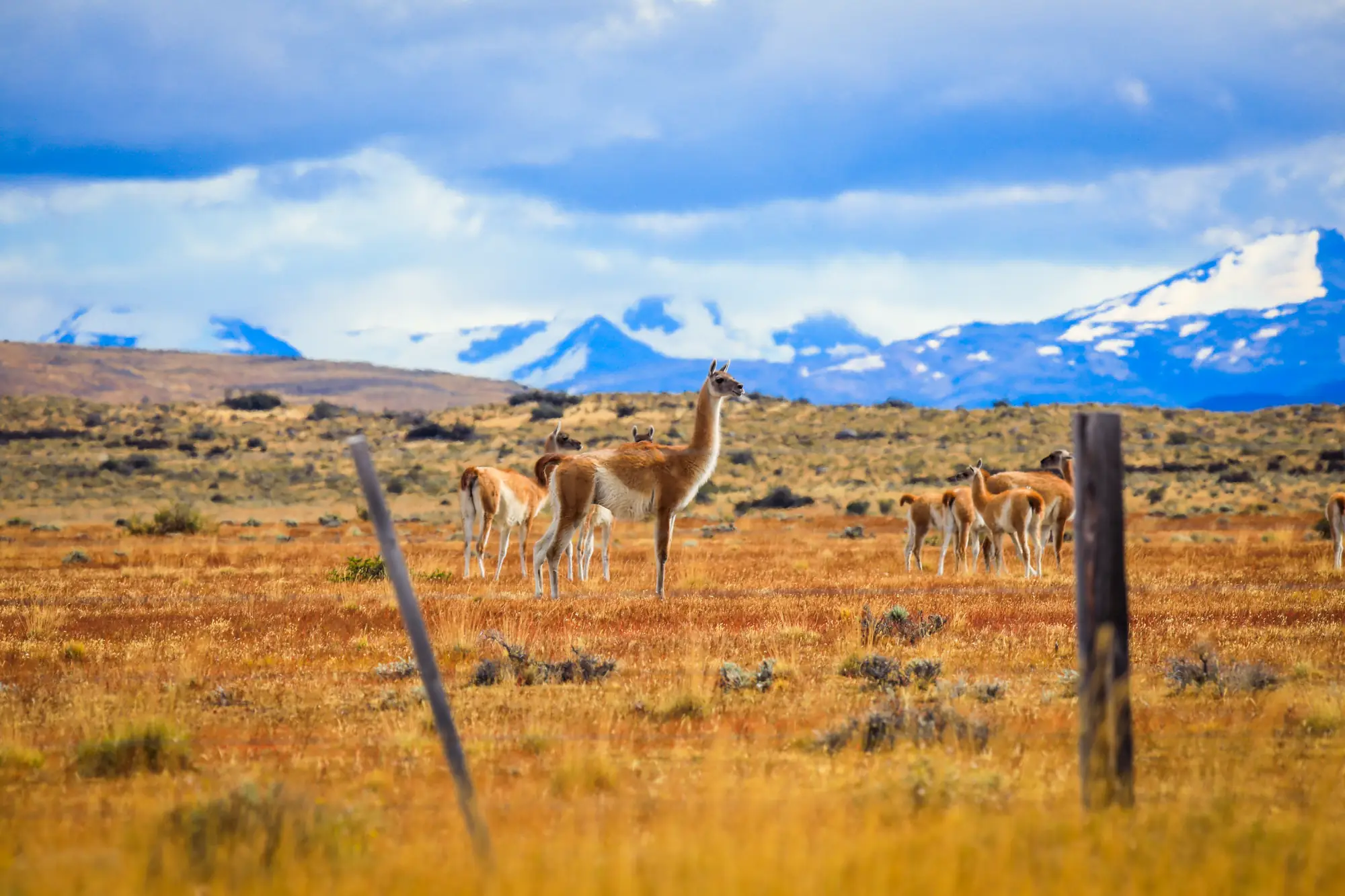
Some of what the trail passes.

Not this year? Walk it anyway, on your terms
Most people who read this far will never get to Patagonia, and the ones who do fight the wind for every step. reTrek lets you walk the same 71.5 km anyway.
Your everyday walks move you through the three valleys, and at points along the way a short film shows you where you have got to. For most people it takes a couple of weeks.
Walk it alone, pool your steps with friends, or race them to the towers.
The W Trek is a paid route. A year of reTrek costs about the same as one takeaway coffee a month, and Everest Base Camp is free if you want to try it first.
Other routes
Sources: Torres del Paine National Park, CONAF · W Trek guide, Swoop Patagonia