
Nakasendo Trail: how long it is, how long it takes, and how to walk it from home
The old mountain highway from Kyoto to Tokyo, five hundred kilometres through cedar forest and stone passes, with sixty-nine post towns a day's walk apart.
At a glance
- Distance
- 534 km · 332 miles
- In steps
- about 763,000
- Trekking days
- About three weeks
- Route
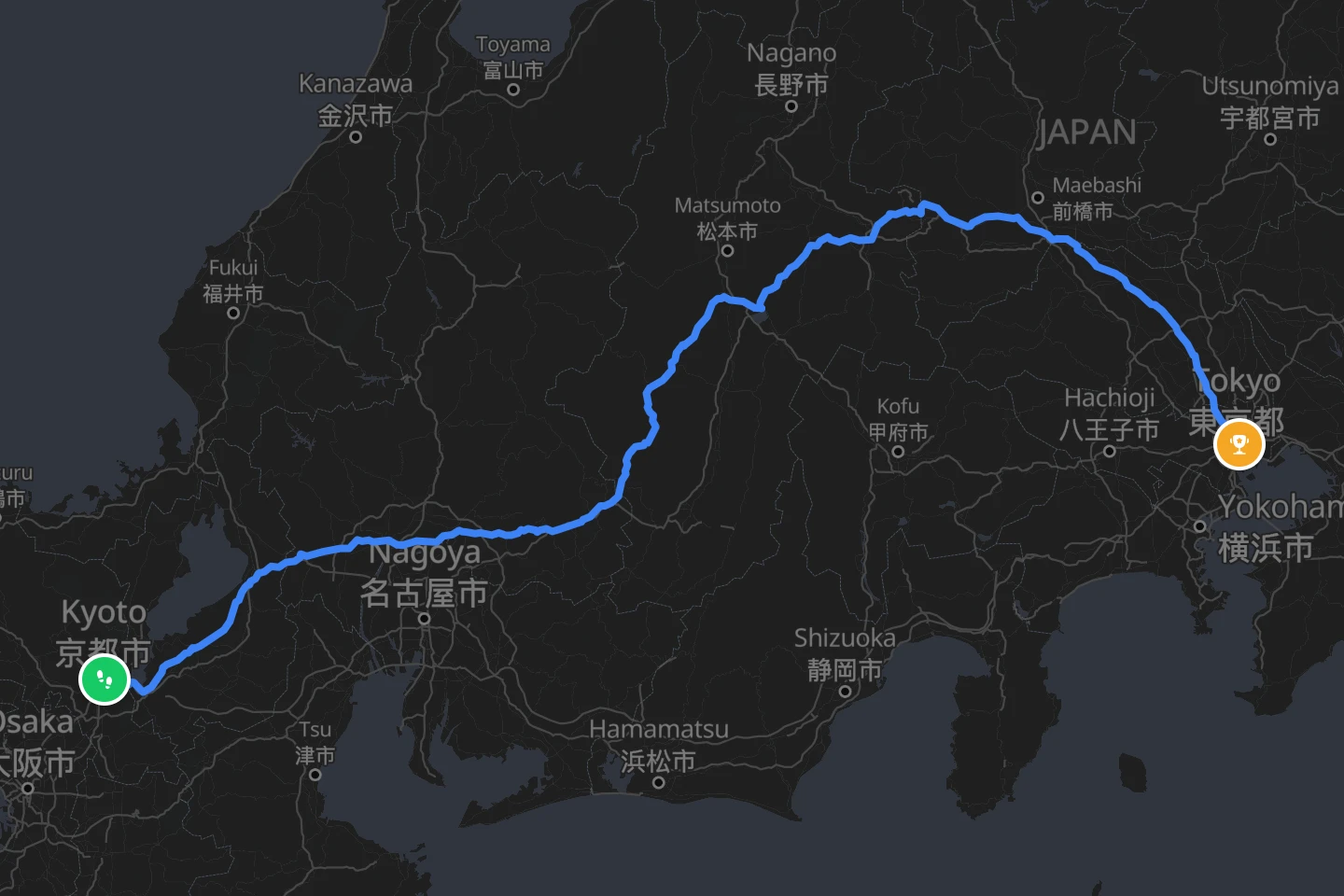
- Sanjo Ohashi, Kyoto to Nihonbashi, Tokyo
- Highest point
- 1,197 m · 3,927 ft
- Best season
- April to November, October and November for the colours
How long is the Nakasendo?
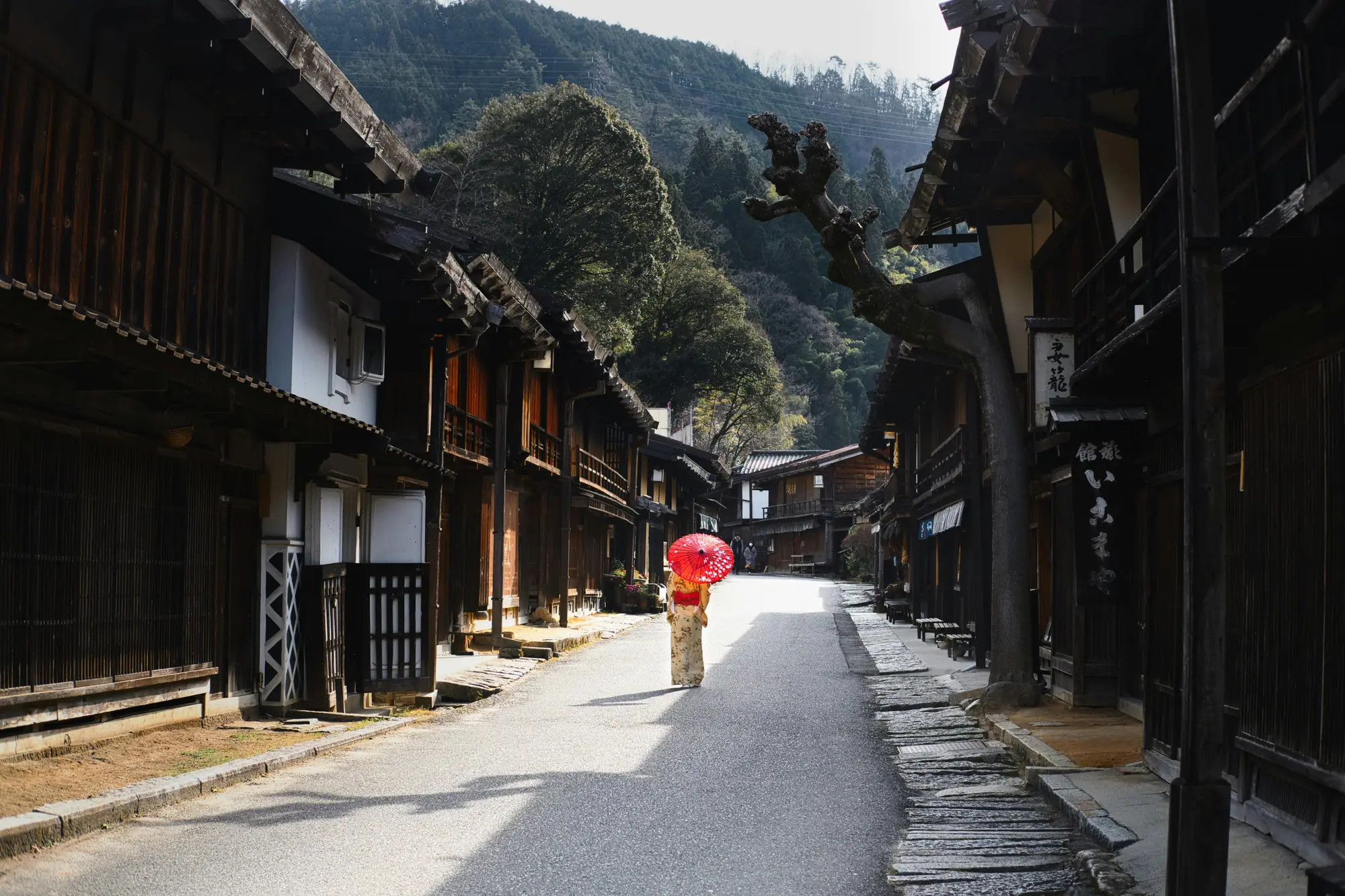
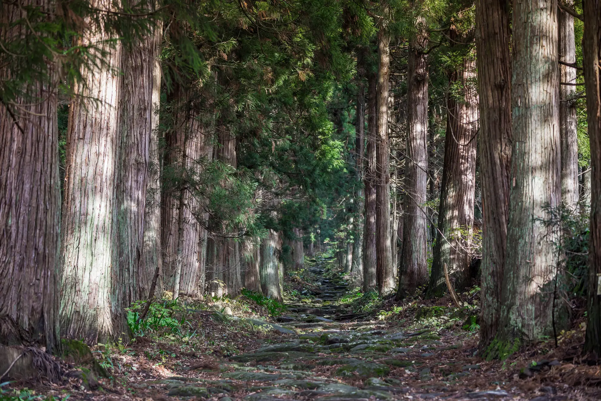
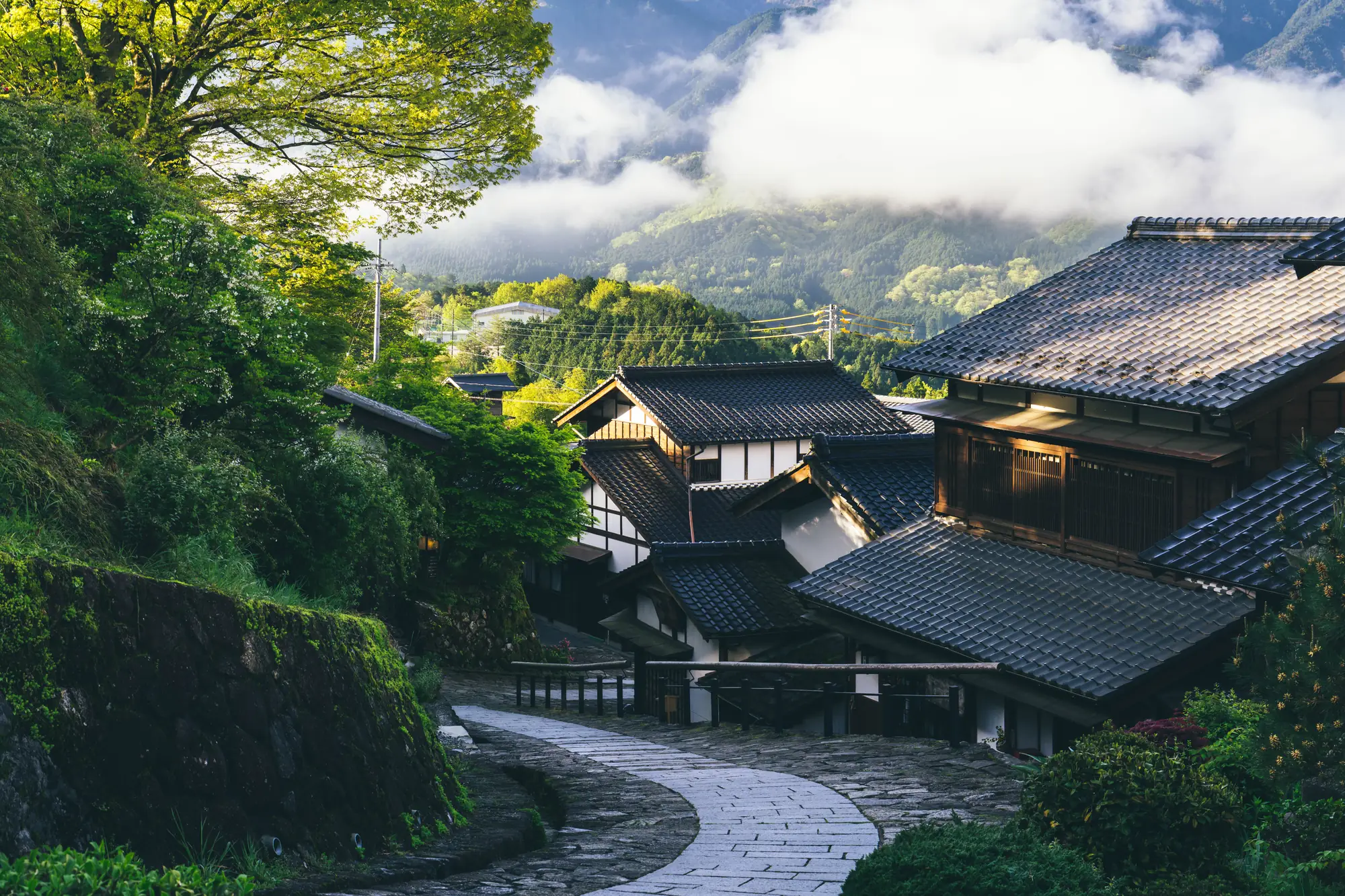
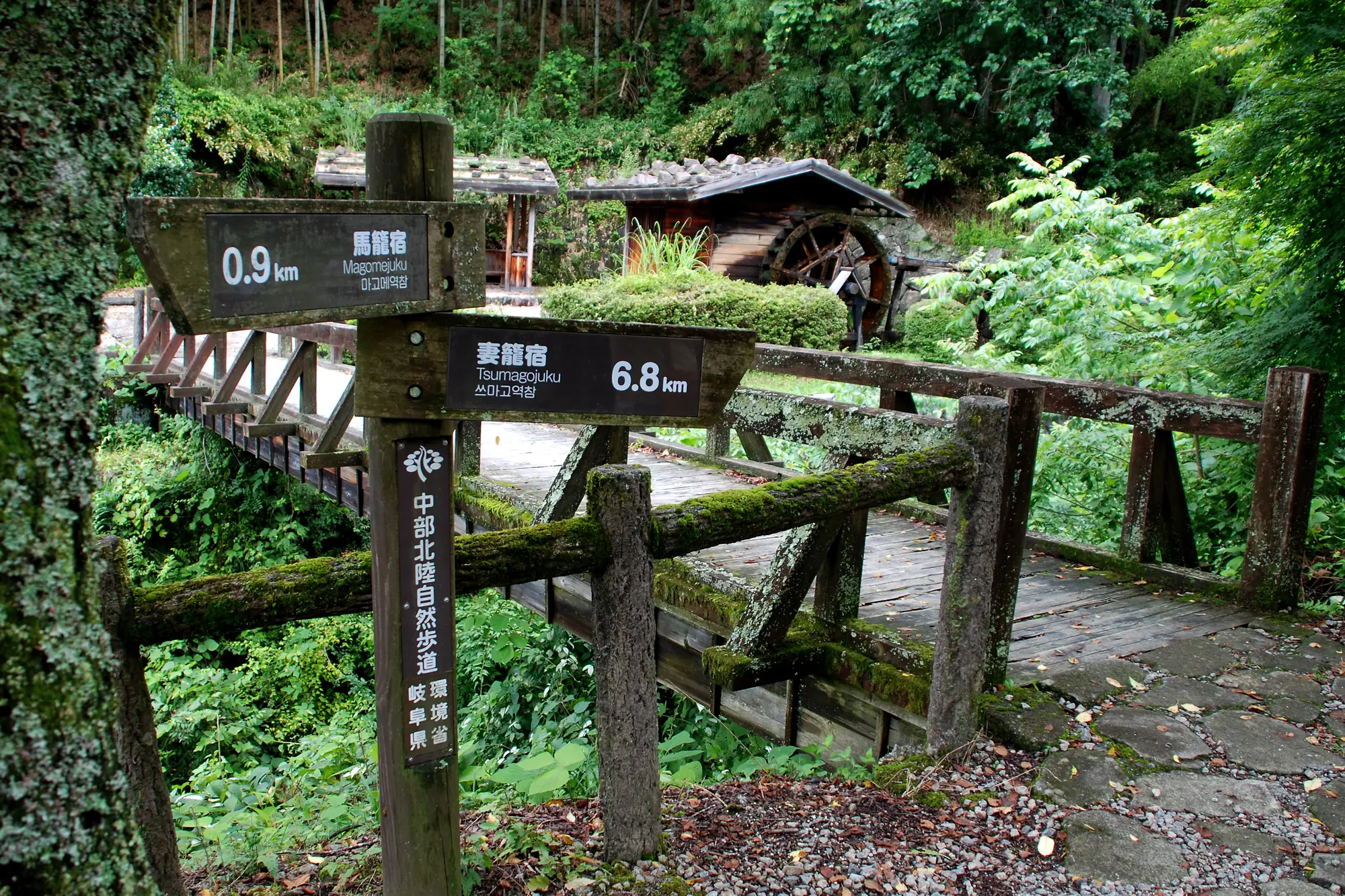
The Nakasendo, the “road through the mountains”, ran about 534 km (332 miles) from Sanjo Ohashi bridge in Kyoto to Nihonbashi bridge in Edo, today’s Tokyo, with 69 post towns spaced a day’s travel apart. Edo-period travellers, on the road from dawn to dusk at 35 to 40 km (22 to 25 miles) a day, covered it in about two weeks. Walking the whole road end to end today takes about three weeks at a more ordinary 25 km (16 miles) a day, but almost nobody does it in one go: long stretches now run beside modern highways, so most people walk the preserved sections of the Kiso Valley for two to five days and take the train between them. The 8 km (5 miles) from Magome to Tsumago, over a pass through cedar forest between two perfectly preserved post towns, is the walk most people mean when they say “the Nakasendo”.
The line reTrek follows is the whole road, which measures 590 km (367 miles) from bridge to bridge.
How high does it go?
The road’s highest point is the Torii Pass at 1,197 m (3,927 ft), between the post towns of Yabuhara and Narai in the Kiso Valley, named for the shrine gate at the top. Most of the road is much lower, following river valleys between the mountains, and the two ends are flat city.
How hard is it?
The preserved sections are easy walking on stone-paved paths and forest tracks, with short climbs to the passes. The hard part of the full road is not the terrain but the road itself: much of the original line is now asphalt, and a complete end-to-end walk means long days beside traffic between the beautiful parts. That is why the trail is usually walked in pieces. In the Kiso Valley, bear bells hang at intervals along the path and walkers ring them as they pass.
The asphalt is the hard part. Walked at home, the Nakasendo keeps the whole road and every post town and leaves the highway out. Walk the Nakasendo in reTrek.
When is the best time to go?
April to November. Spring brings blossom to the post towns, summer is humid and wet, and October and November turn the Kiso Valley’s maples red, which is the most popular time. In winter the passes can hold snow and some inns close.
How do you get there?
The Kiso Valley sections are reached by train from Nagoya or Matsumoto, with stations at Nakatsugawa for Magome, Nagiso for Tsumago, and Narai on the same line. The two ends of the road are the two ends of Japan’s main rail corridor: Kyoto and Tokyo. No permit is needed.
On the trail
Some of what the trail passes.
Not this year? Walk it anyway, on your terms
Most people who read this far will never walk the whole road, and the highways between the good parts are the reason. reTrek lets you walk it anyway, all 590 km, without a lorry in sight.
Your everyday walks move you along the old highway, and at points along the way a short film shows you where you have got to. For most people it takes a few months.
Walk it alone, pool your steps with friends, or race them to Tokyo.
The Nakasendo is a paid route. A year of reTrek costs about the same as one takeaway coffee a month, and Everest Base Camp is free if you want to try it first.
Other routes
Sources: Walking the Nakasendo, Go Nagano · Nakasendō, Wikipedia